Government infrastructure project improves the management of 350 kilometres of flood defences in London and the Thames Estuary.


Government infrastructure project improves the management of 350 kilometres of flood defences in London and the Thames Estuary.

Development platform improves usability and adoption of coastal resilience and ecosystem services maps and data
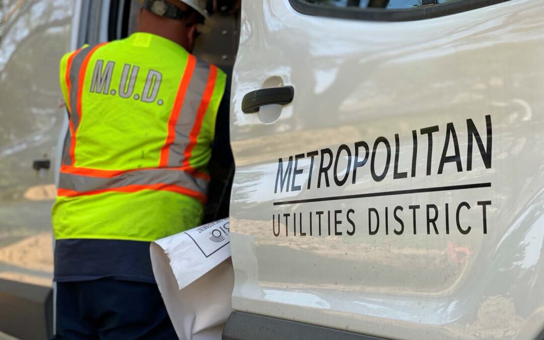
Field crews have easy access to integrated GIS and work order information to perform tasks faster and with greater accuracy Customer Metropolitan Utilities District (M.U.D.) provides safe, reliable,...

500 Women Scientists launch Gage platform to connect people around the world using Locana open data and development services. Customer 500 Women Scientists is a global community formed to serve...
Locana helps integrate systems with Esri ArcGIS Utility Network, ensures successful data migration, and optimizes results Customer With a mantra of "We Do Things Right," Brookings Municipal...

Colorado’s North Central All-Hazards Emergency Management Region (NCR) has a long history of working together to prepare and respond to typical Front Range emergencies such as wildfires and tornadoes. COVID-19 is a new type of emergency.

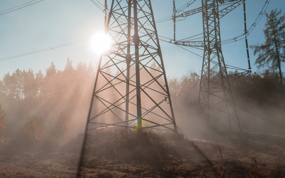
“From an SAP WM perspective, Critigen helped us put GIS in the field.” - Tom Kydd, Vice President Operations, Hydro One BACKGROUND Hydro One has a long history in the electricity services industry....

The first ever Locate conference was one of those where I will be happy to claim, “I was there!“ It was one of the most forward looking geospatial conferences that I’ve ever attended and left several big impressions.
Sign up for quarterly insights on topics you care about, including GIS, geospatial, enterprise systems, open data and development, and more. We’ll share industry best practices, user stories, and relevant information you can use in your own work.

At Locana, we believe maps and location intelligence can help solve the most pressing infrastructure, sustainability, social, and business challenges.
At Locana, we believe maps and location intelligence can help solve the most pressing infrastructure, sustainability, social, and business challenges.
© 2024 Locana