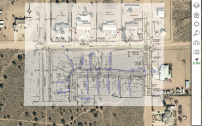
Spatially-Enabling Enterprise Project Controls
For construction companies worldwide, poor planning across functions, departments, and organizations can cost time and money. Resource allocation, communication, and monitoring are all impacted. Commonly used planning tools such as Gantt charts and spreadsheets lack the spatial context to provide a complete data picture; and manual approaches to mapping are inefficient and ineffective. By spatially enabling your planning systems, companies can apply location analytics and data to improve decision making and gain a competitive edge. Visualized planning delivers significant improvement in collaboration, stakeholder communication, progress tracking, health and safety, and more. With easily digestible data outputs, all participants can understand and contribute to project success and drives efficiencies across the program lifecycle. To learn more about how spatially enabling your enterprise with location tools and data, download the presentation given at the recent Project Controls Expo.


