
Field crews have easy access to integrated GIS and work order information to perform tasks faster and with greater accuracy
Customer
Metropolitan Utilities District (M.U.D.) provides safe, reliable, and cost-effective natural gas and water services to the metro Omaha, Nebraska community. It is the fifth-largest public gas utility in the United States, serving natural gas to 235,485 customers, providing products and services at rates that are among the lowest in the Midwest. In addition, it supplies safe drinking water to 220,625 customers, owning and operating three water treatment facilities and an extensive water distribution system capable of providing more than 300 million gallons per day.
As a customer-owned public utility, M.U.D. continuously seeks new and improved ways of carrying out business, including technology innovation. In recent years, the company deployed mobile GIS to its field technicians. As a result, service technicians can easily access integrated geospatial and work order management capabilities to perform duties faster and more accurately, both in connected and disconnected environments.
Having maps, data, and work management information integrated gives field crews faster access to more information, so they don’t have to call back to the operations center to ask questions.”
LINDSAY DRECKMAN
Manager, Business Applications, GIS, Metropolitan Utilities District
Challenge
For years, M.U.D. recognized the value of bringing its Esri GIS data and functionality to the field. For example, service technicians could look at digital maps of assets, utility networks, and customer locations to perform inspections, maintenance, repairs, and new construction. This provided more accurate, up-to-date data to improve operations, reduce risk, and enhance regulatory compliance.
The challenge involved portability—trying to bring true GIS capabilities into the field on laptops and mobile devices. The company started developing a solution in-house called “Utilities Viewer,” created with JavaScript by one of M.U.D.’s developers. This improved paper methods but involved multiple steps and did not work in disconnected environments.
M.U.D. wanted to replace its legacy online mapping application with a streamlined solution that provided the speed and accuracy for fieldwork and operated well in areas of the city that may have poor cell reception.
The goal was to help workers spend more time on their jobs and less time finding information from their laptops or back in the office. In addition, the utility wanted to make it easy for field technicians to launch their field app with embedded maps and location-based tools, initiate workflows directly to the work order, and provide a seamless experience between field service and mapping. It would also simplify getting data to and from corporate systems.
At the Annual Esri International User Conference, M.U.D. met with Locana to discuss possible new mobile GIS opportunities. That’s when they learned about Locana’s Lemur product. After careful evaluation, the utility opted to implement Lemur Pro – the integrated GIS solution for field workers.
Lemur was a game-changer for our field users. They no longer required online access, and because the data is cached on the iPad, the speed of a map is incredible. So you have your functionality and data available when you need it.”
LINDSAY DRECKMAN
Manager, Business Applications, GIS, Metropolitan Utilities District
Challenges
- A legacy, in-house solution
- Disconnected GIS and work order data and tools
- Lack of integrated workflows
- Connected-only capabilities
- Slow performance
Solution
Working in partnership with Locana, M.U.D. configured Lemur for its field crews, bringing GIS into its field service workflows. The project began with a Phase I implementation of stand-alone Lemur Pro. Phase II encompassed integration of Lemur Pro with SAP Work Manager.
M.U.D. used Lemur to bring GIS data together with its work order and asset management system for a faster, more intuitive approach. The integrations make it easy to navigate between apps. The value is field crews can see important propriety information, including assets, connectivity, and relationships between those assets, without multiple applications, manual processes, or additional training. They can perform duties and fix problems while in the field using a single solution.
For M.U.D. staff, Lemur requires minimal training because actions are predefined and focused on workflows. For example, users can click a button to open a map with GIS data and functionality from their field service management system. Then, they execute their workflows, accessing, capturing, updating, and sharing data as needed in the fewest steps possible.
In collaboration with Esri, M.U.D. also developed a custom-built widget in the event of an emergency gas leak. It provides three concentric rings around a building footprint so emergency personnel can effectively respond. Field staff view the data created from this widget in Lemur to make data-driven decisions, such as where to park, where to set up an incident command post and where the gas assets are to isolate the incident.
Just being able to go from your work order to the map to see the data and then back to the order using one solution is huge. We’ve taken a lot of components and made them available to field crews. Previously, it was in a static database or a tabular form. It wasn’t a point on a map. Now all of the information is at their fingertips.”
LINDSAY DRECKMAN
Manager, Business Applications, GIS, Metropolitan Utilities District
Results
Field crews serving multiple departments use Lemur for everything from gas and water distribution to field services, construction, meter services, safety and security, and plant and design engineering. Whether they operate online or offline, they leverage mobile mapping to perform several core duties, which include:
- Viewing customer locations and service areas
- Understanding connectivity and interdependency
- Recording work and defect locations
- Querying asset characteristics
- Locating utility assets
For emergency water main breaks, M.U.D. uses Lemur to drop a point so the utility can use locational analysis to plan for infrastructure replacement needs. Developed by Locana and business partner Havensight Consulting, it allows staff to view information to understand if there have been other leaks nearby and if additional infrastructure work is needed.
Time is a huge benefit to the Lemur product, and the speed of rendering is a dramatic change from where we started.”
LINDSAY DRECKMAN
Manager, Business Applications, GIS, Metropolitan Utilities District
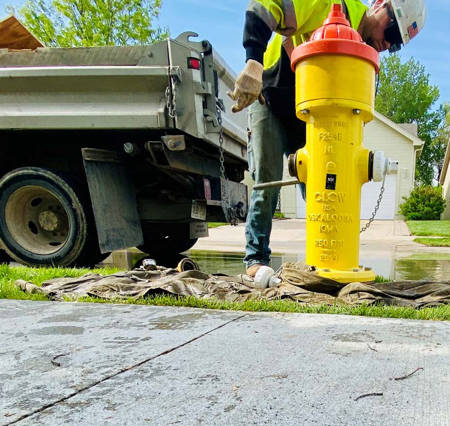
Staff can view location data and work order details for maintenance orders to route and understand the day’s workload. This includes gas distribution and water distribution inspections. In addition, Lemur is used for managing the more than 30,000 hydrants operating in the Omaha area, an extensive network that feeds five separate counties.
If a new fiber line is getting placed within the M.U.D. service area and they receive an “811 call,” the utility must quickly locate gas services. To do this, they pull up a map in Lemur and instantly find assets, see interconnectivity, identify changes, and update information as part of the ticketing system.
Benefits
- Integrated GIS and work order management
- More timely, accurate, and complete data
- Connected and disconnected capabilities
- High-speed and improved performance
- Enhanced data collection, dashboards, and reporting.
Future
With the success of M.U.D.’s GIS and mobile mapping efforts, the company is looking to extend the benefits of GIS and field apps to more people. The company plans to implement the Esri ArcGIS Utility Network, including network modeling, tracing, and isolation capabilities. In addition, the company would like to develop digital service cards to automate the data collection process from the field to office. As M.U.D. continues its configuration of Lemur, with more custom features developed that meet specific M.U.D. tasks, the company will look to transition completely to Lemur and away from its legacy mapping application.
We’ll enable new users to give them access to Lemur so that they are communicating and speaking the same language.”
LINDSAY DRECKMAN
Manager, Business Applications, GIS, Metropolitan Utilities District
Download the full case study here.


