Spend less time fixing systems, applications, and data, and more time maximizing performance.


Spend less time fixing systems, applications, and data, and more time maximizing performance.

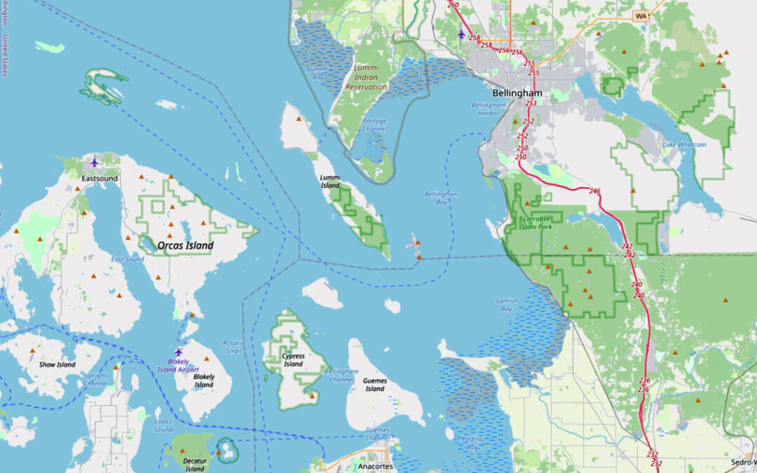
The role of field service management continues to dominate the world economy, as the market grows at an exponential rate. The market was estimated at 3.2 billion in 2021 and is projected to reach 5.7 billion by the end of 2026. This includes field services industries such as utilities, oil and gas, government, and transportation.

National Highways is the government-owned organisation responsible for modernising, maintaining and operating England’s motorways and major A roads.

John Bennett, Locana Project Controls Solutions Lead, recently presented the success pillars of software implementation to a packed audience.

By spatially enabling your planning systems, companies can apply location analytics and data to improve decision making and gain a competitive edge.
Locana can help you take advantage of Open Street data in a way that saves money while improving quality.
Leverage the power of location to connect systems and visualize data for improved decision making.

Convert policy to practice, streamline workflows, and increase collaboration using location intelligence.

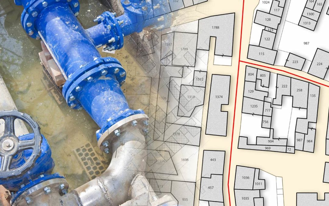
A successful Materials Tracking and Traceability program improves workflows and supports asset management best practices.

Why companies will rely on integrated GIS, IoT, machine learning, and more to build and maintain modern facilities.

Reduce risk and lower costs with an incremental approach to your next IT project.

Achieve better outcomes using a modern geospatial platform approach that connects systems and increases data accuracy.
Sign up for quarterly insights on topics you care about, including GIS, geospatial, enterprise systems, open data and development, and more. We’ll share industry best practices, user stories, and relevant information you can use in your own work.

At Locana, we believe maps and location intelligence can help solve the most pressing infrastructure, sustainability, social, and business challenges.
At Locana, we believe maps and location intelligence can help solve the most pressing infrastructure, sustainability, social, and business challenges.
© 2024 Locana