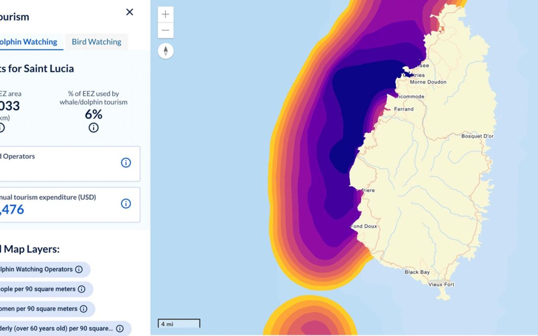
Achieve better outcomes using a modern geospatial platform approach that connects systems and increases data accuracy.


Achieve better outcomes using a modern geospatial platform approach that connects systems and increases data accuracy.
In 2022, utilities face strong market forces impacting businesses of every size across the country and around the world.
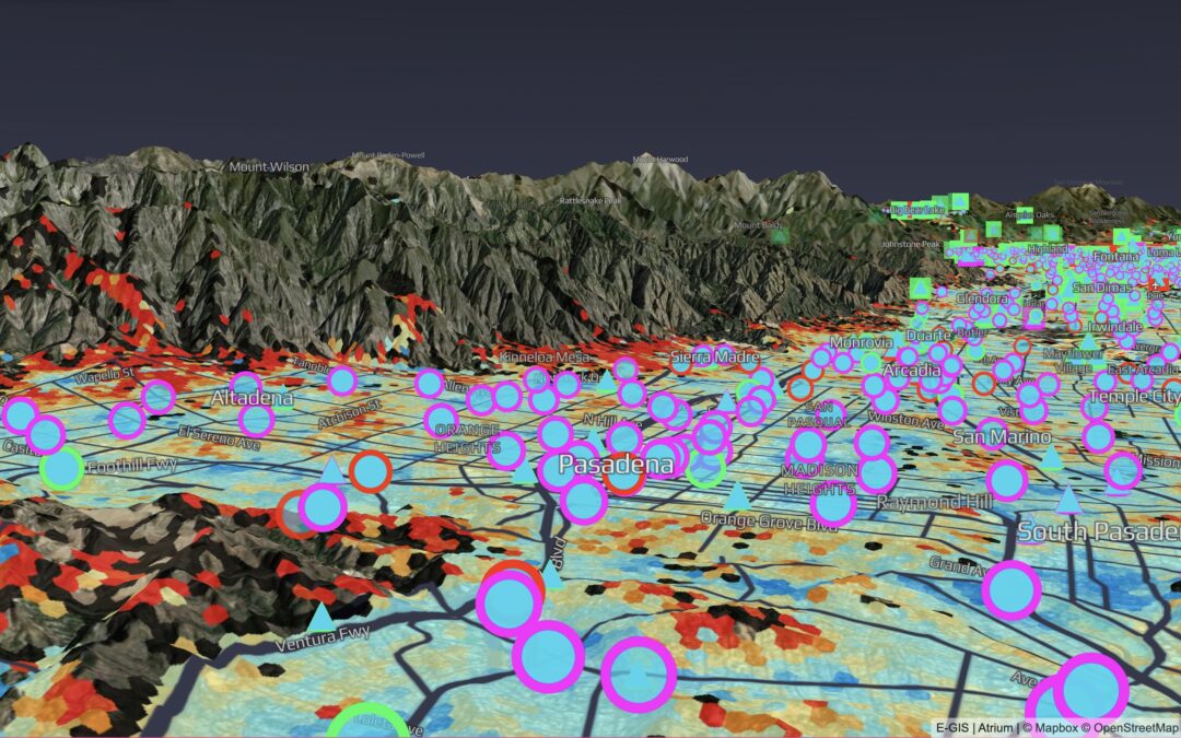
Improve decision making, lower costs, and reduce risk using a map-based portal that integrates systems and data.

Geospatial solutions make sense of vast volumes of data for greater clarity and decision making.
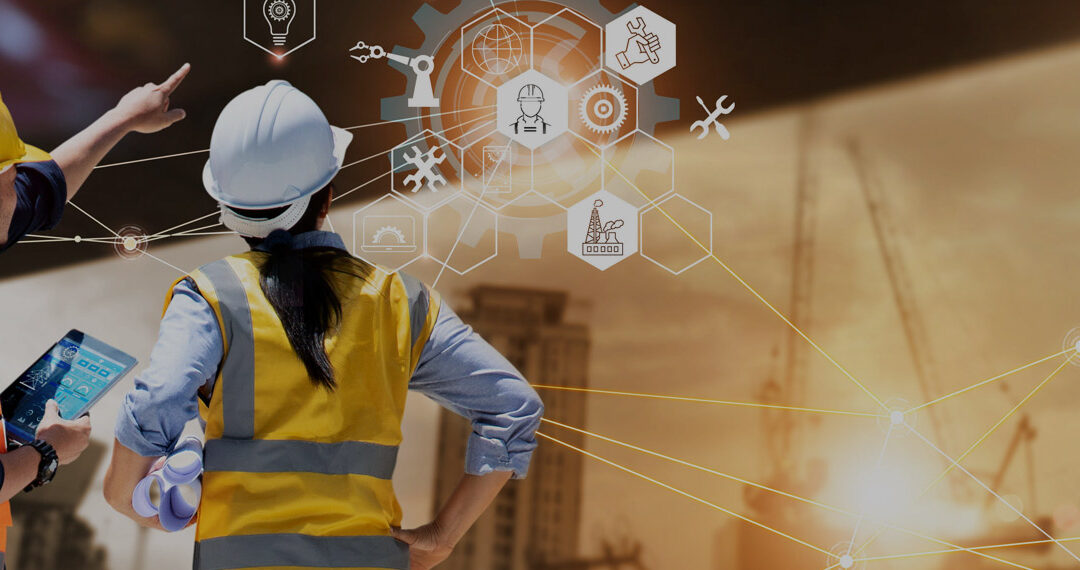
For years, companies have been harnessing big data to glean insights that improve decision-making of every kind and at all levels, from entering new markets to building better products to delivering better services and experiences.
Today’s forward-thinking IT leaders—in companies from commercial businesses to social benefit to utilities and more—must contend with increased demand for location-based services.
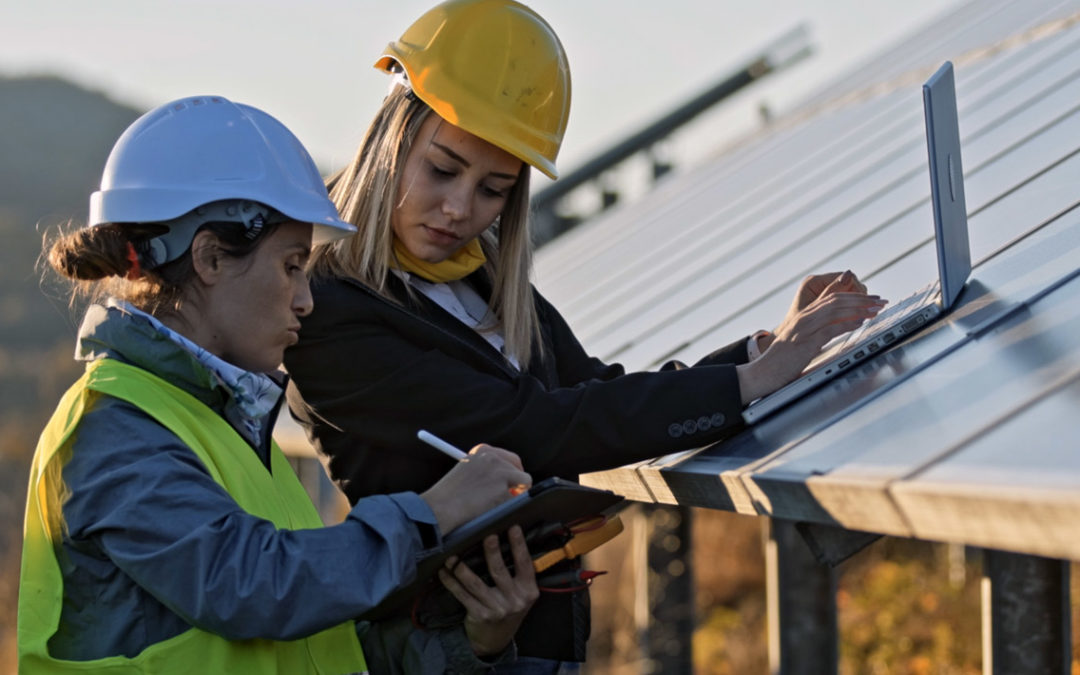
The utility industry is under tremendous transformation, and more companies are working toward a clean energy future.
Locana has deep experience and expertise working closely with customers to launch major GIS and IT initiatives.

SJI became one of the first enterprise gas delivery companies in North America to take advantage of Utility Network Implementation Success.
Taking an intermediate approach will allow you to resolve some key points.

We continue to hear questions about how this would benefit an organization.

With Locana’s Flexible Collaboration Spectrum, you decide how the project work will be shared.
Sign up for quarterly insights on topics you care about, including GIS, geospatial, enterprise systems, open data and development, and more. We’ll share industry best practices, user stories, and relevant information you can use in your own work.

At Locana, we believe maps and location intelligence can help solve the most pressing infrastructure, sustainability, social, and business challenges.
At Locana, we believe maps and location intelligence can help solve the most pressing infrastructure, sustainability, social, and business challenges.
© 2024 Locana