Critigen, an international leader in spatial technology, today announced it has rebranded as Locana.


Critigen, an international leader in spatial technology, today announced it has rebranded as Locana.

Brandon Raso has been appointed to lead for utility design and engineering systems practice.
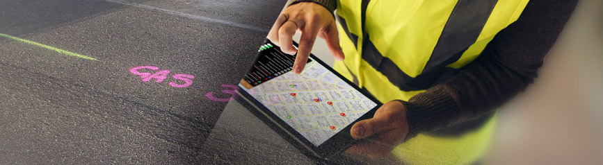
Intuitive Locana solution delivers enhanced data synchronization, scalability, and security.

Locana has added Matt Sheehan to the company’s team, in the role of Geospatial Innovation Director.
Building on each organization’s active participation in the OpenStreetMap (OSM) community Critigen and YouthMappers have agreed to a shared common vision to communicate, coordinate, and cooperate to enhance the use and creation of open geospatial data and technology.
We have created a solution offering called sageSM or “Smart Geoenablement”. sage allows customers to leverage their existing investment in off the shelf products from Esri and SAP combined with our proven, repeatable, tools and deployment patterns to quickly bring the power of maps to data stored in SAP.
Critigen is proud to announce the promotion of Jaime Crawford to Senior Vice President of Strategic Industries and Accounts.

The Interactive Visitor Map (IVM) helps the public understand how and where to access the outdoor activities they love. Displaying trailheads, campgrounds, fishing access, trails and roads, the IVM Application allows users to select any National Forest, zoom there, and explore all available recreational opportunities.
Locana has been named one of the Top 20 Most Promising Solution Providers for SAP by CIO Review. To read more about Locana's recognition on the CIO Review website use the link below....
Sign up for quarterly insights on topics you care about, including GIS, geospatial, enterprise systems, open data and development, and more. We’ll share industry best practices, user stories, and relevant information you can use in your own work.

At Locana, we believe maps and location intelligence can help solve the most pressing infrastructure, sustainability, social, and business challenges.
At Locana, we believe maps and location intelligence can help solve the most pressing infrastructure, sustainability, social, and business challenges.
© 2024 Locana